1999
Bayuda Desert Survey
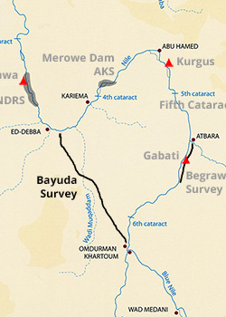
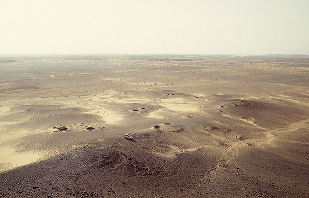
The Challenge Road was part of the project, now completed, to provide an all-weather tarmac road linking the capital Khartoum with the major centres in the north of Sudan, Kareima and Dongola. It is laid out along the direct line between the confluence of the White and Blue Niles and the most southerly part of the Debba Bend, re-joining the Nile at Gabolab. Between Kilometres 95 and 210 from Omdurman it follows the course of the Wadi Muqaddam.
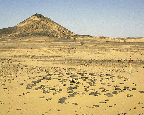
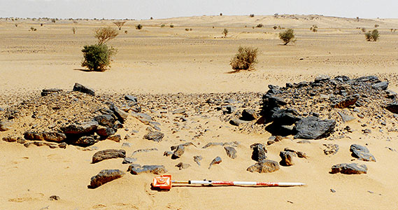
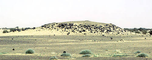
Of the 192 archaeological sites discovered many are concentrated along the Wadi Muqaddam. Occupation spans from the Palaeolithic into the Medieval period. As late as the Neolithic settled communities were present and the evidence of land and fresh water molluscs along with fish bones indicates the presence of standing water and may be compared with the recent discoveries in the Wadi Howar to the north west.


