2001
Exploration of Jebel Um Rowag
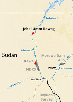
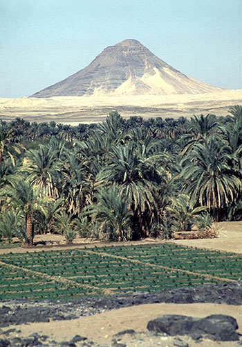
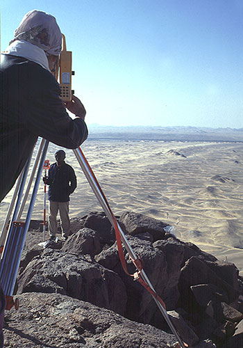
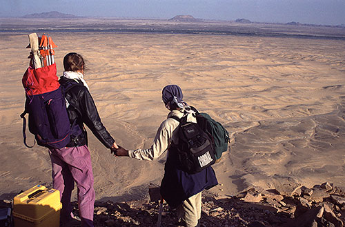
The jebel, set within the sharp bend of the Nile between Dal and Amara, dominates its surroundings. Its almost perfect conical form and its isolated situation make it a prominent landmark for miles around. Attaining a maximum height of 454 metres, it towers above the rough, broken countryside. The lower slopes are very steep while the summit is narrow and littered with rock outcrops and massive boulders.
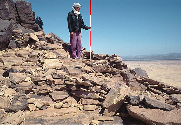
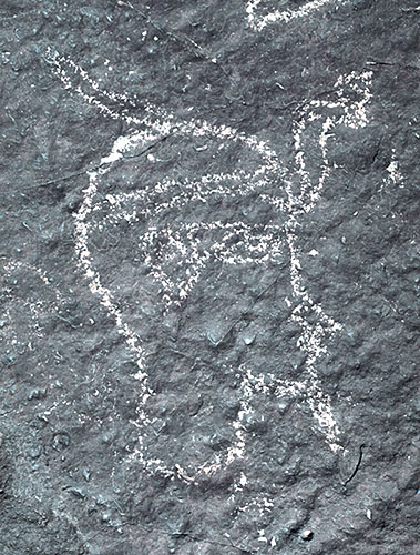
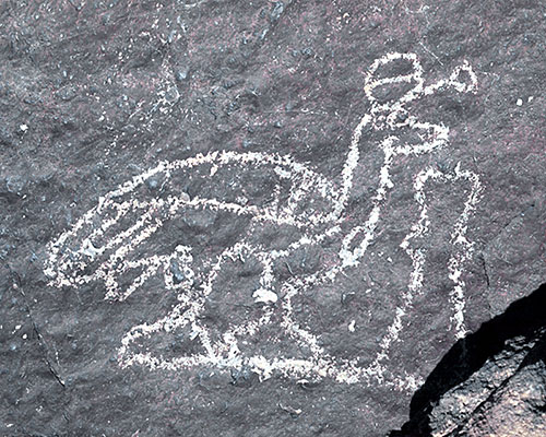
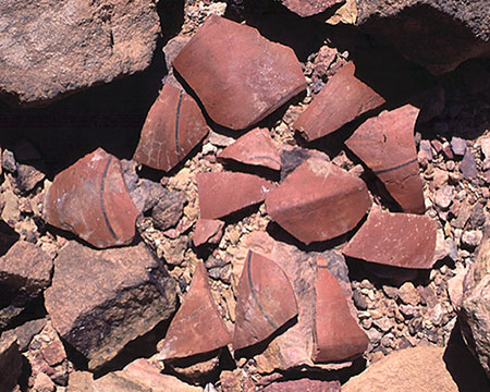
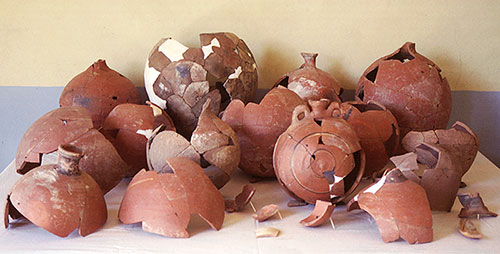
The rock drawings, of birds, the head of a king, ankhs and a geometric design, occupied the very top of the jebel and were carved on both vertical and horizontal slabs. Hut circles and deposits of pottery are found close to the summit and on the upper slopes of the mountain.


